Set of 6 German Army Maps
Description
Product Images
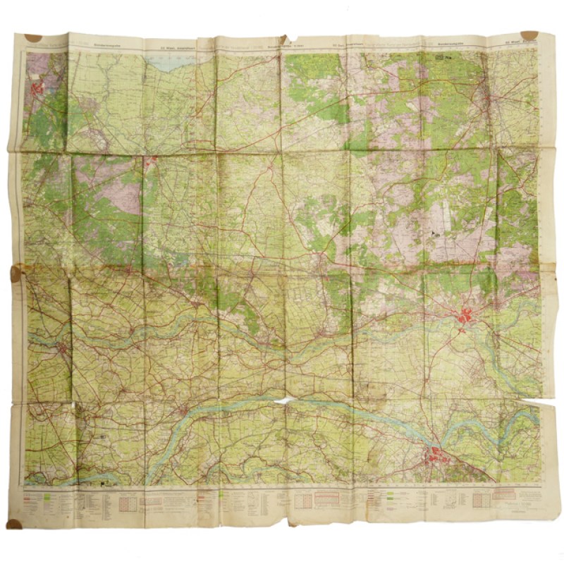
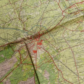
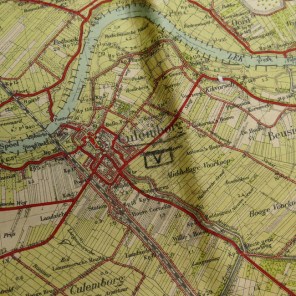
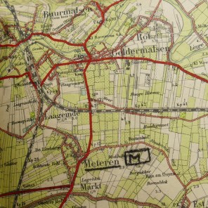
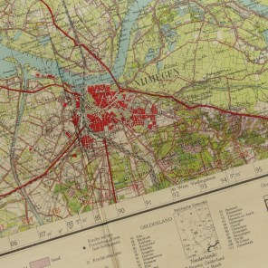
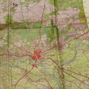
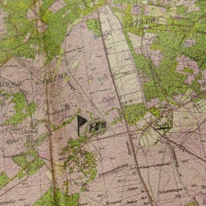
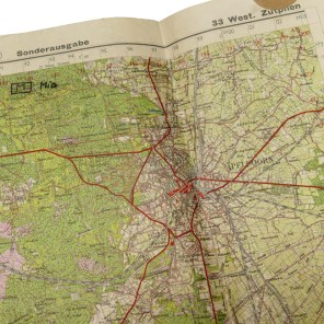
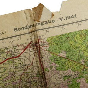
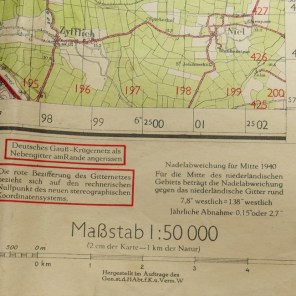
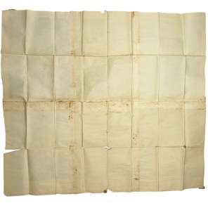
This is an original set of 6 matching, period pasted together 'Truppenkarten' (German Army/SS Maps) of the area between Nijmegen/Arnhem to Amersfoort. The maps were published in 1941 by the 'Generalstab des Heeres, Abteilung für Kriegskarten- und Vermessungswesens'. The maps as pasted together measure approximately 124 x 110 cms. The maps are in clearly front/combat used condition, showing original pencil markings near for example the 'Deelen' Airbase, see close up photos. These maps would look great when framed and hung on a wall in a collection room. Interesting and rare set of original army maps from the Netherlands!
