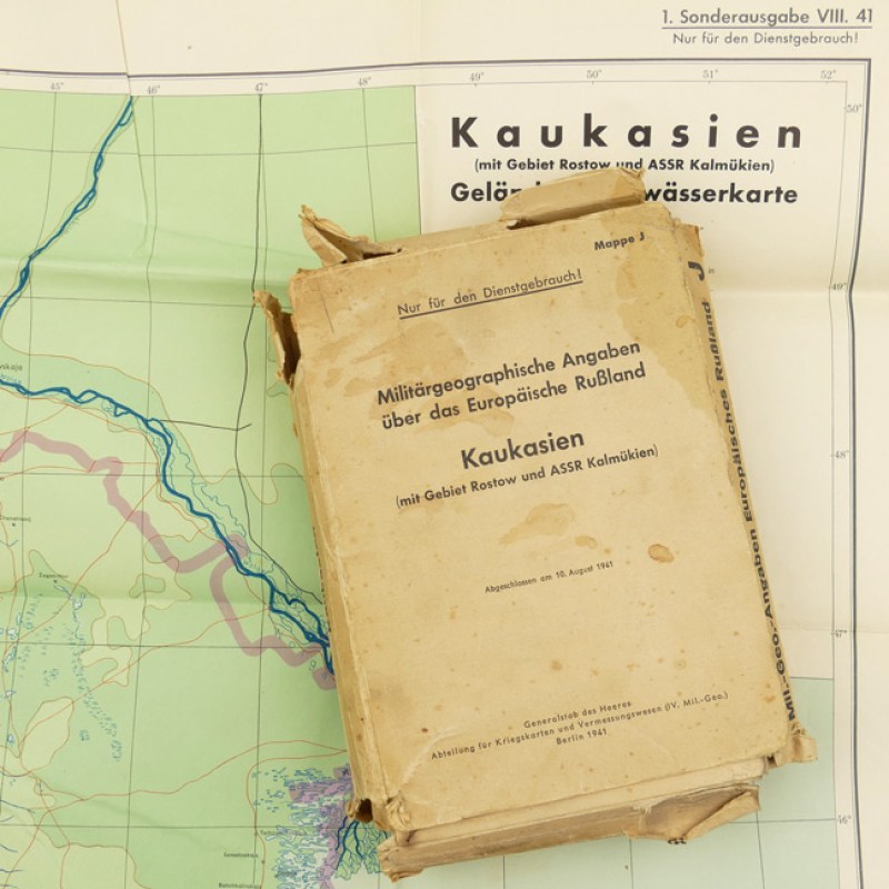
Original Case with Invasion Maps 'Kaukasien'
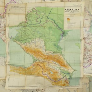
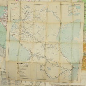
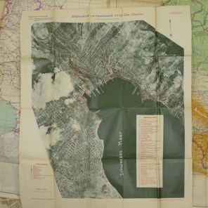
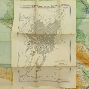
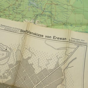
'Militärgeographische Angaben über das Europäische Rußland "Kaukasien" Mappe J'. Very rare set of military maps produced by the Wehrmacht General Staff cartographical department intended for the battle against the Soviet Union in 1941. Complete with all 10 maps, the mapping is of the highest standard with specific maps covering administrative districts; a survey of roads; railways and waterways; city-plans of Batum including the harbour, Erewan, Noworossijsk, Rostow a. Don, Taganrog and Tblissi. All 10 maps are present, the booklets with other information are regrettably missing from the map. These maps where published in August 1941 by the 'Generalstab des Heeres, Abteilung für Kriegskarten- und Vermessungswesens'. Highly desirable original set!
