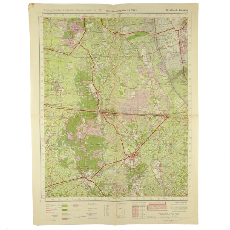
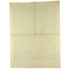
German Army Map 'West. Almelo'
Description
Product Images
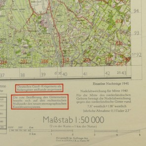
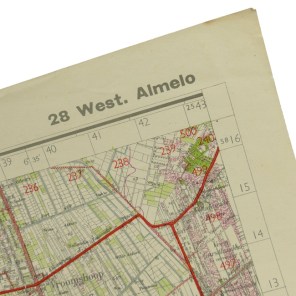
This is an original so-called 'Truppenkarte' (German Army/SS Map) of the area of 'West. Almelo' in the Netherlands showing the cities 'Nijverdal' and 'Rijssen'. The map was published in 1941 by the 'Generalstab des Heeres, Abteilung für Kriegskarten- und Vermessungswesens'. The map measures approximately 61 x 46 cms. Nice original army map!
